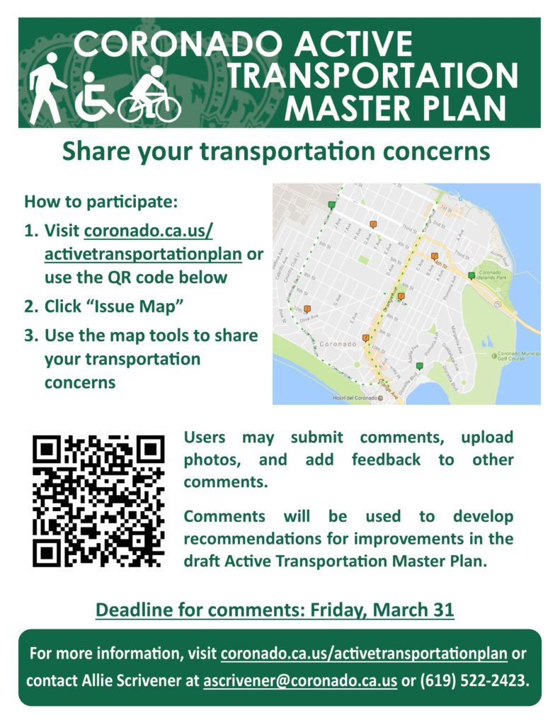
Coronado residents are invited to identify their transportation opportunities and most pressing concerns using the Active Transportation Master Plan Issue Map. With the WikiMapping tool, users can toggle between Map View and Satellite View, as with Google Maps, and log comments. Users may submit comments anonymously, upload photos, and add feedback to other comments. This interactive map is part of a comprehensive public outreach effort to ensure community concerns are received by the Active Transportation Master Plan project team. “Active Transportation” refers to any human-powered transportation, such as walking, bicycling or using a wheelchair. Providing safe transportation facilities for everyone ensures equal access to mobility and grows healthy communities. The deadline is March 31.